

Research projects

MARXE 2025-2029
Coastal archaeology and geomorphology in the Late Prehistory of Ría de Arousa (Galicia)
MARXE investigates the relationship between Late Prehistoric coastal settlements and Holocene environmental change in the Ría de Arousa through an interdisciplinary approach integrating archaeology, geomorphology, and geomatics, supporting both scientific knowledge and the conservation of vulnerable coastal heritage.
PAHEDES 2025-2028
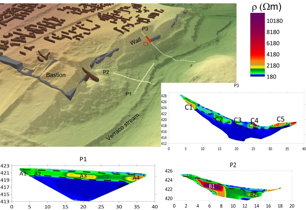
Revaluation of the Cultural Landscape of the Extremadura Dehesa and its Archaeological Heritage through Innovative Technologies
Design and implementation of innovative strategies to enhance the value of the cultural landscape of the dehesa in Extremadura, focusing on the communal dehesa of Botija (Cáceres), where the Vetton hillfort of Villasviejas del Tamuja is located.
GEOPAMEX 2025-2028
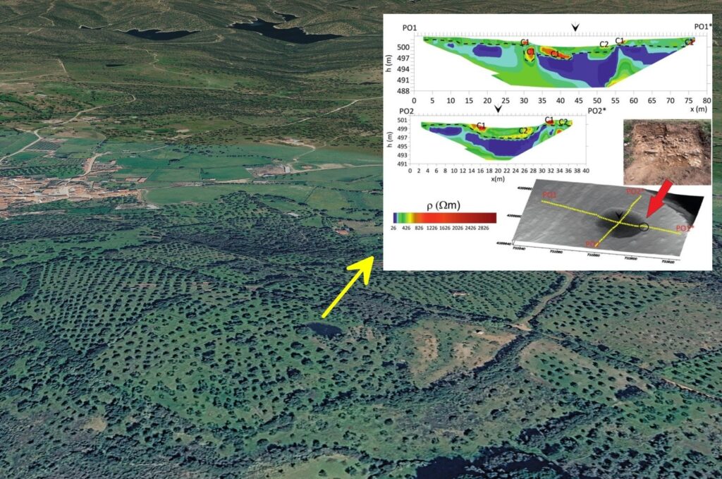
Valuation and investigation of megalithic heritage in Extremadura using geomatic techniques
GEOPAMEX investigates Extremadura’s megalithic heritage through an interdisciplinary approach integrating archaeology, geomatics, geophysics, and artificial intelligence to improve its documentation, preservation, and valorisation through high-quality digital twins and innovative heritage management workflows.
LandMinarq 2024-2027
Interdisciplinary archaeological research for a diachronic landscape analysis in Peninsular Southwest. The Second Iron Age as a paradigm.
A multidisciplinary methodological strategy is proposed that combines non-invasive studies (surface survey, geophysics and remote sensing) with studies aimed at the paleoenvironmental and geoarchaeological reconstruction of the area of influence of the hillforts during the Second Iron Age in the Southwest of the Iberian Peninsula.
IBERIAN STELAE 2024-2026
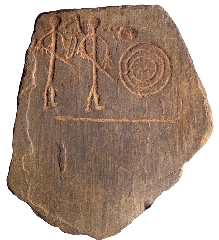
The Iberian stelae of the Final Bronze Age: Iconography, Technology and the Transfer of Knowledge between the Atlantic and the Mediterranean
High-resolution 3D models of the Iberian stelae and their experimental replicas were created using structured-light scanning. Profile geometry (depth, width, and shape) was statistically compared between originals and replicas to identify carving techniques and infer the tools used.
REMAN3D 2018-2020
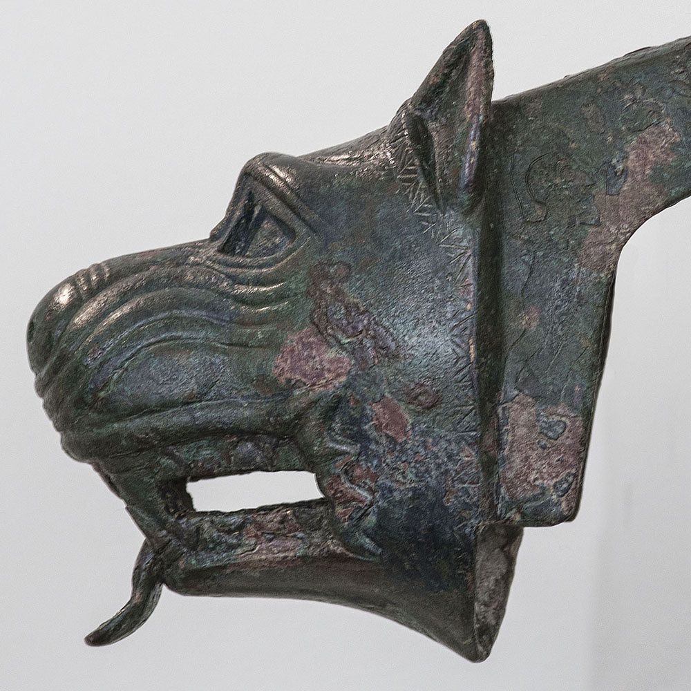
The aim of this project is to catalogue and disseminate information of archaeological objects from the Department of Protohistory and Colonization of the National Archaeological Museum of Spain
DIÁSPORA 2017-2019
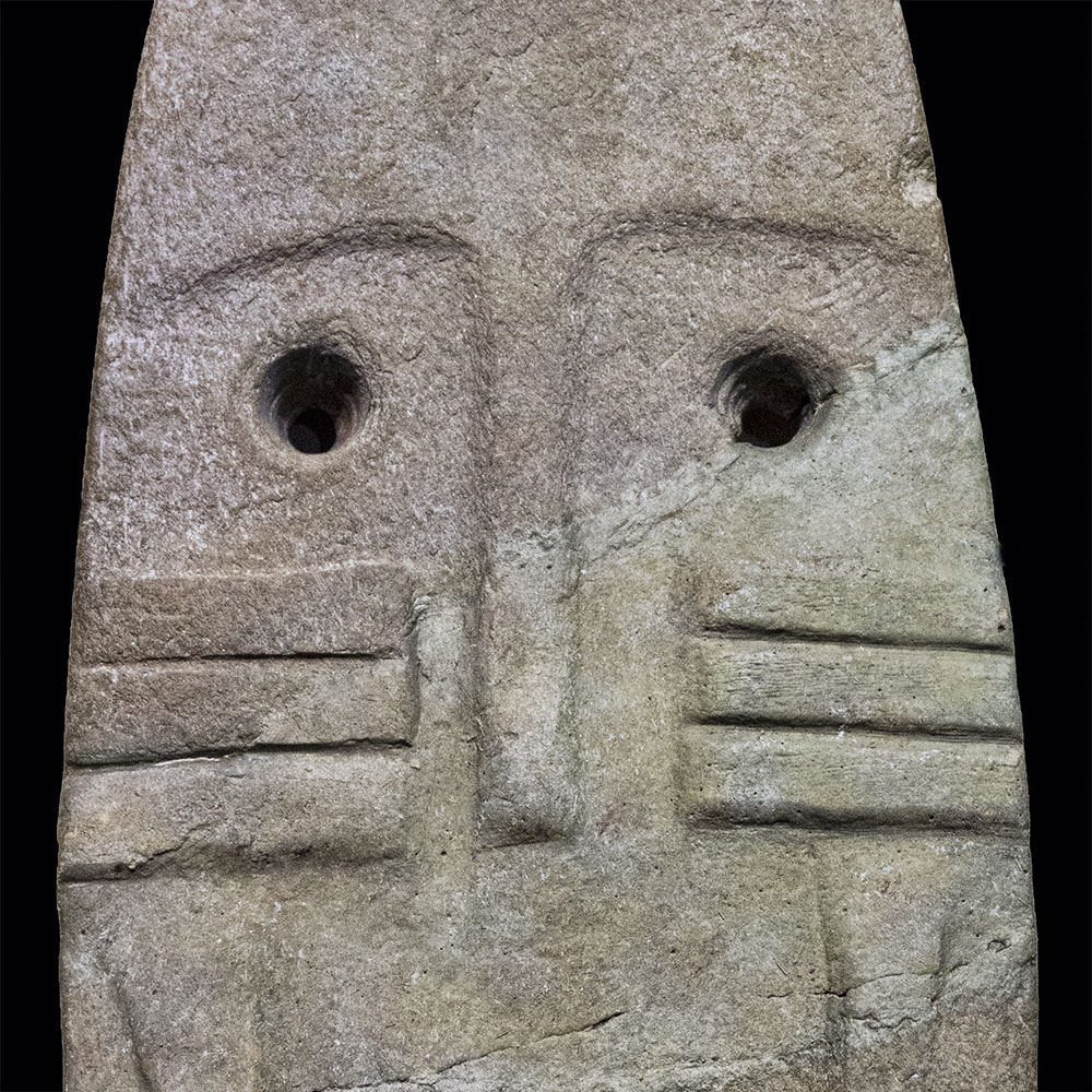
Diaspora, an heritage in exile” deals with the location, cataloguing and dissemination of information of archaeological objects from Extremadura that are currently located outside their territorial limits.
Ocean wanderers 2017-2019
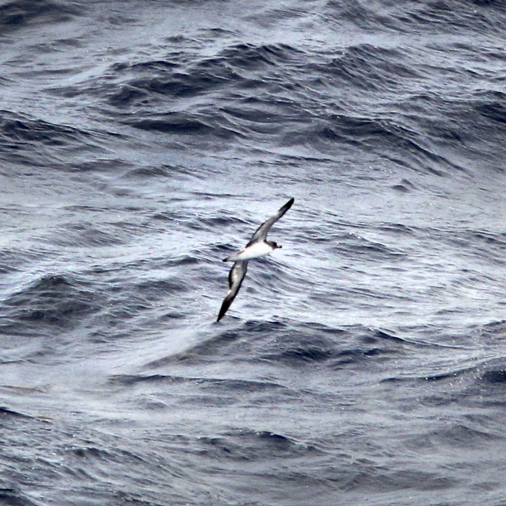
Understanding long-distance migratory paths of ocean wanderers: a spatio-temporal study with wind fields. Are the great migratory routes of birds conditioned by the wind? Do these routes coincide with the wind highways?
Galápagos 2013-2015
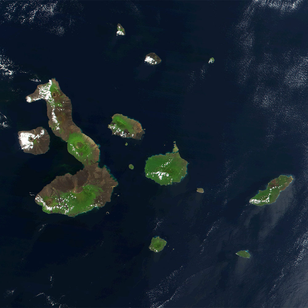
The colonization history of oceanic islands by plants: floristic, diaspore and dispersal analysis of the Galápagos flora. Subproject 2 (To the Galápagos): habitat suitability, connectivity models, and favores syndrome analysis.
Spain biodiversity & climate change 2009-2011
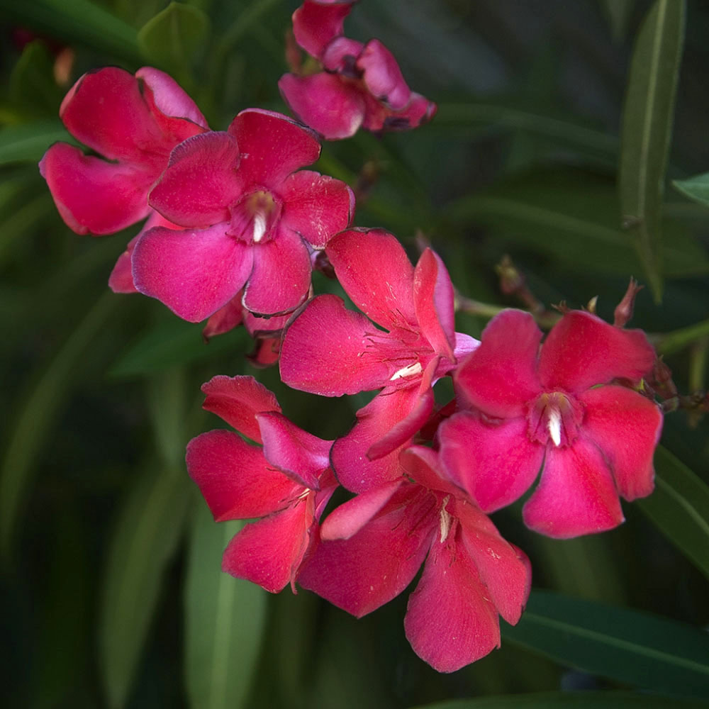
Este proyecto se realizó en los años 2008 a 2010 con el objetivo general de evaluar posibles impactos y predecir la situación futura de hábitats y taxones de la flora española ante diversos escenarios de cambio global. A este objetivo general se llega analizando la distribución espacial de la flora en la actualidad y proyectando sus dependencias climáticas a potenciales situaciones en el futuro. El ámbito del estudio ha sido la superficie de España peninsular excluyendo, por tanto, las islas Baleares y Canarias, así como Ceuta y Melilla. Se ha trabajado tanto a nivel individual (especies/subespecies) como a nivel global (síntesis indicadora de riqueza específica). Como objetivos específicos pueden destacarse la construcción de modelos de distribución potencial actual y futura, la comparación entre ambos, la valoración de pérdidas o ganancias a nivel territorial, la elaboración de mapas indicadores de riqueza específica y de su evolución temporal, la elaboración de indicadores de vulnerabilidad, la identificación de las zonas más vulnerables y la propuesta de líneas de actuación e investigación.
SA forests and climate change 2008-2011
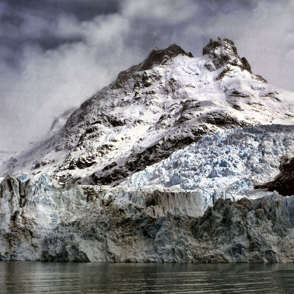
CYTED Ibero-American network for the development of suitability models of native forests in Ecuador, Mexico, Bolivia, Argentina and Colombia, under global climate change scenarios.
Ecuador biodiversity & climate change 2004-2007
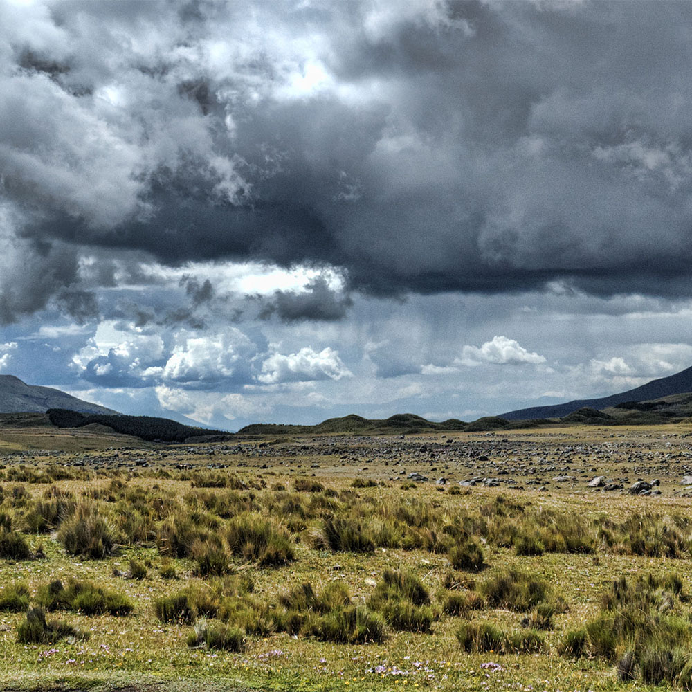
Evolution of the high biodiversity and endemicity areas in Ecuador under global climate change scenarios. Analysis of suitable areas for a few hundred species from some flora Families.
TERRA-ASTER cartography 2004-2006
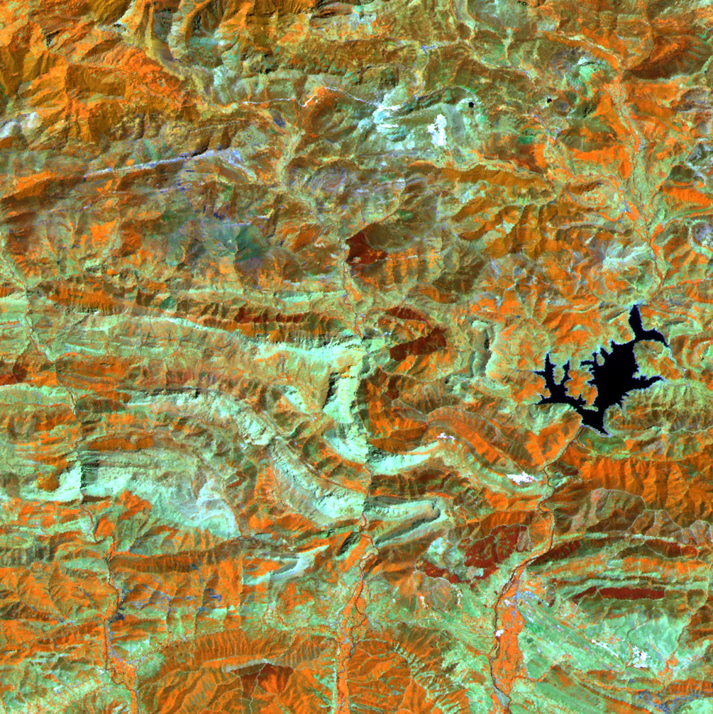
Testing TERRA-ASTER imagery for land use recognition, image processing and orthorectificacion, and thematic and spatial error study by means of ROC curve and neighbourhood analysis.